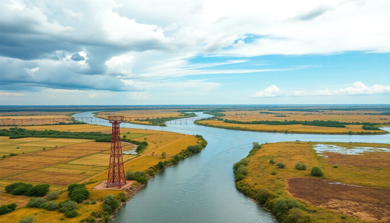
Paraguay and Bolivia approved the last pending section of their common border in La Paz, completing the official demarcation of approximately 742 kilometers: 704 kilometers on land and 38 kilometers along rivers. The approved section connects Landmark X, called “12 de Junio,” to Landmark XI, at the confluence of the Negro or Otuquis and Paraguay rivers, where the borders with Brazil meet.
The decision was taken during the 13th Ordinary Plenary Meeting of the Paraguayan-Bolivian Joint Boundary Demarcation Commission, held from September 14 to 16. The Paraguayan delegation was led by Carlos Fleitas, president of the National Boundary Demarcation Commission.
The agreement completes the only section still awaiting formal approval in the binational record. The delegations also addressed the identification, maintenance and inspection of the border strip, including the periodic opening and clearing of international trails used to maintain visibility between the landmarks.
The legal basis for the process is the Treaty of Peace, Friendship and Boundaries, signed on July 21, 1938, and the Arbitration Award of October 10 of the same year. Under the instructions approved on November 25, the Joint Commission began fieldwork on December 16, 1938, after the Chaco War (1932-1935).
Since then, surveyors, geodesists, astronomers and other technicians from both countries have worked in hard-to-reach areas of the Chaco to calculate coordinates, clear trails and install landmarks. The line was structured around eleven main vertices, from Landmark I, “Esmeralda,” at the tripoint with Argentina, to Landmark XI, at the tripoint with Brazil.
After the minutes are signed, the technical documentation will be sent to the foreign ministries of both countries for safekeeping and communication to international cartographic organizations. Paraguay and Bolivia will also continue periodic inspection and maintenance of the landmarks and intervisibility trails.
Official information released about the agreement presents the two countries as the only ones in South America with all their common land and river borders fully demarcated. The result concludes a process that began 88 years ago and turns into a complete technical record a line whose legal definition dates back to the commitments made in 1938.