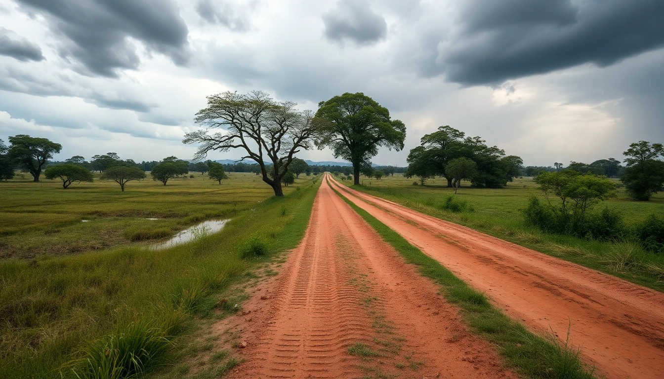
The Directorate of Meteorology and Hydrology forecasts a sharp change in the weather in Paraguay starting Saturday, after two days of intense heat. Temperatures could reach 39°C on Thursday and Friday, while a frontal system is expected to bring highs down to near or below 30°C, along with rain and storms.
The agency’s director, Eduardo Mingo, said the change would begin to be felt on Friday night in Asunción, the Lower Chaco, parts of Ñeembucú, Paraguarí and Misiones. On Saturday, the advance of cold air is expected to reach Itapúa, where the Rally of Paraguay is taking place.
The first rains are expected to reach the south, especially Itapúa, and spread across the rest of the country over the weekend. At the start of next week, the forecast calls for precipitation throughout the Eastern Region, with the possibility of thunderstorms.
The period coincides with the traditional Santa Rosa Storm, expected on Sunday and Monday. The phenomenon could bring severe storms, although its exact intensity and distribution will still depend on how the frontal system develops.
There is also an alert for northerly and northeasterly winds from Thursday afternoon through the rest of the day. Gusts are expected to range from 40 to 60 km/h across most of the country, but could reach 80–90 km/h in central, northern and western parts of the Western Region, especially in the Chaco. In some places, winds could exceed those levels.
The alert covers Asunción, Concepción, San Pedro, Cordillera, Guairá, Caaguazú, Caazapá, Itapúa, Misiones, Paraguarí, Alto Paraná, Central, Ñeembucú, Amambay, Canindeyú, Presidente Hayes, Alto Paraguay and Boquerón.
Mingo said winter had been practically interrupted since mid-July, with no records of extreme cold. El Niño is already influencing temperatures and is expected to intensify during spring and summer.