The georeferencing of properties has become a mandatory requirement for a series of registration procedures in Paraguay since the system came into operation in January 2026. The procedure, regulated by a decree from President Santiago Peña based on Law 7424/25 which created the National Unified Registry (Registro Unificado Nacional - RUN), requires the owner to hire a qualified professional to determine the exact location of the property using geographic coordinates.
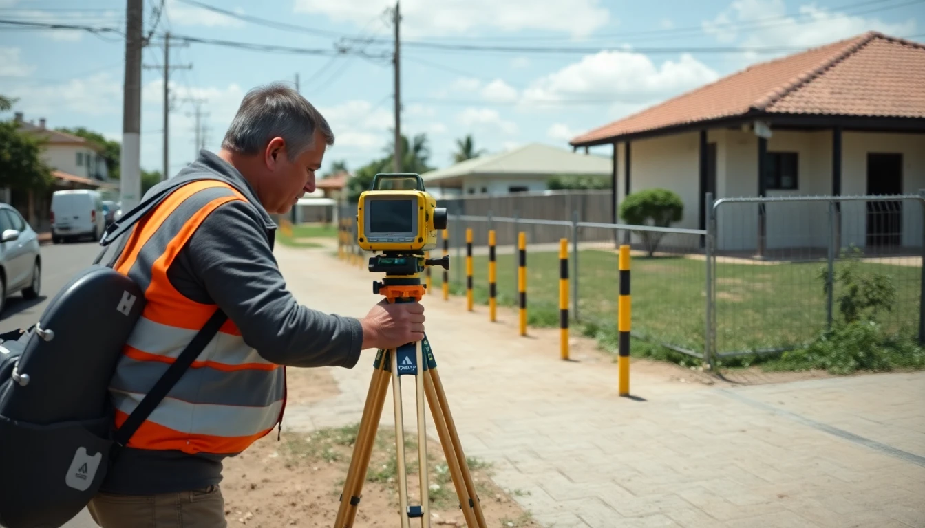
As explained by Ana María Samaniego, Director of Cadastre for the Issuance of Cadastral Documents at the RUN, the work is carried out by an engineer in Geographic Sciences or a surveyor, who prepares a georeferenced plan and a technical report for submission and verification by the institution's Directorate of Cadastre.
The process begins with the hiring of a notary public (escribano), who coordinates the preparation of the file with the technical professional, or directly with the surveyor. After the plan is completed, the dossier is submitted to the RUN by a qualified professional, as individuals cannot submit this type of request directly at the intake desk.
The required documentation includes three signed copies of the plan and the technical report, a certified copy of the property title, proof of the current property tax, a digital file of the plan in Shape (SHP) format, a copy of the surveyor's ID and professional license, and proof of payment of the fees. Notary Katia Ayala Ratti, vice president of the College of Notaries of Paraguay (Colegio de Escribanos del Paraguay - CEP), highlighted that the notary's office also generates the corresponding draft and gathers all the certified documentation before filing.
The total cost involves official fees and professional fees. The fee for reviewing and registering the plan is G. 117,077 (one minimum wage), which can rise to G. 292,693 if it includes a change of district. The surveyor's fees start at G. 1,500,000, varying by location and complexity, while notary services can start at G. 1,000,000.
According to the RUN, the average resolution time, after the complete file is submitted, is 20 to 25 days, with a maximum reference period close to 30 days. Christian Saccarello, head of the Judicial Survey Section of the RUN's Surveying and Geodesy Division, explained that each case undergoes a review to ensure that coordinates and technical information fully match the registration records.
The most common reasons for rejection or delay include incorrect coordinates, discrepancies between the plan and the property title, overlap with neighboring properties, boundary conflicts, corrupted digital files, or illegible documentation. Yolanda Añasco, head of Section A of the RUN's Geoprocessing Department, emphasized that the analysis checks for consistency between the submitted plan, the cadastral cartography, and the official geographic databases.
More complex procedures, such as judicial surveys, property consolidations, and subdivisions, require even more extensive documentation, as warned by notary Katia Ayala Ratti.